
Environment Canada has updated a snowfall warning:
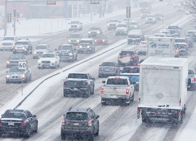
A slow moving frontal system will continue to maintain a band of heavy snow across central Alberta into the weekend. This long duration snowstorm is expected to produce total accumulations of 15 to 40 cm by Saturday evening. Parts of the ice fields parkway highway 93 may see accumulations in excess of 50 cm.
Due to the banded structure of the heaviest snow, total accumulations may not be uniform across all regions.
Snowfall Warnings are issued when significant snowfall (10 cm or more within a 12 hour period) is expected.
Consider postponing non-essential travel until conditions improve. Surfaces such as highways, roads, walkways and parking lots may become difficult to navigate due to accumulating snow. There may be a significant impact on rush hour traffic in urban areas.
Please continue to monitor alerts and forecasts issued by Environment Canada. To report severe weather, send an email to [email protected] or tweet reports using #ABStorm.
The daytime high of -16 C will drop to -18 C by the afternoon. Wind chill will feel like -26 C in the afternoon, as a result of winds up to 20 km/h.
St. Albert is expecting up to 10 cm of snow during the day. There is a risk of frostbite.
The overnight low of -18 C will feel like -28 C, as a result of winds up to 20 km/h. Risk of frostbite.
The St. Albert Gazette is looking for photos of the latest weather conditions in St. Albert and Sturgeon County.
If something catches your eye with the day’s weather, snap a picture and send it over to [email protected] to be featured on our site.


