
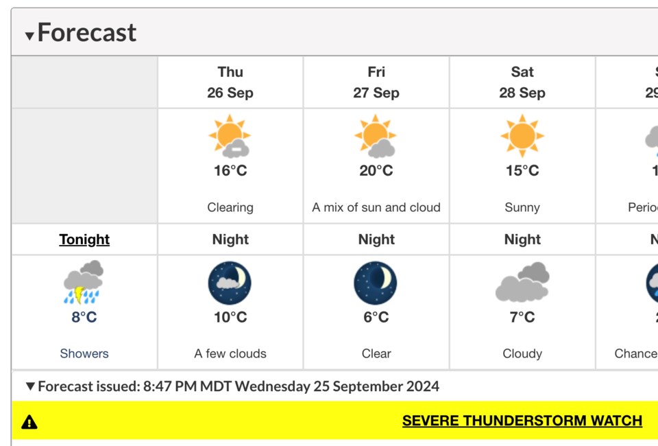
Environment Canada issued a severe thunderstorm watch for locales including St. Albert Wednesday night.
Issued at 8:47 p.m., the bulletin warns that thunderstorms approaching from the west could produce very strong gusts of wind, heavy rain and large hail.
"Some of these very strong wind gusts may arrive ahead of the thunderstorms," it reads. "Large hail can damage property and cause injury."
Strong winds could damage buildings, blow large vehicles from the roadway and down trees. Lightning also presents a potentially lethal threat.
Currently at the Villeneuve weather station it's 16.2 C with a fresh breeze of 24 km/h out of the northwest with gusts up to 45 km/h. The ECCC hourly forecast shows a risk of severe thunderstorms and wind gusts of up to 50 km/h persisting until about 1 a.m. Thursday. Gusts of up to 20 km/h could last until Thursday evening.
The overnight temperature is expected to bottom out at 8 C, but not until the start of the business day. Thursday's high is now forecast to reach just 16 C.
Severe thunderstorm watches are issued when atmospheric conditions are favourable for the development of thunderstorms that could produce one or more of the following: large hail, damaging winds and torrential rainfall.
To report severe weather, send an email to [email protected] or tweet reports using #ABStorm.


