
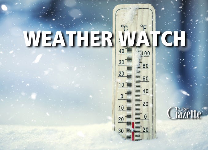
Icy temperatures have rolled into the city with mercury set to plunge to a low of -33 C on Thursday.
The morning started off with temperatures at -30 C, but with the wind chill driving the temperature down further to -40 C.
The high on Thursday is slated to reach a balmy -28 C with flurries.
On Wednesday Environment Canada issued an extreme cold warning for St. Albert, which is slated to last until Jan. 15.
“Temperatures will drop to near minus 30 degrees Celsius tonight with wind chills near minus 40,” the alert says.
“Over the weekend, morning temperatures will reach minus 40 degrees Celsius in many areas.”
“Wind chills will approach minus 50.”
The alert explains that temperatures are expected to warm up slightly starting next week, although “certainty is low and below normal temperatures are likely to continue.”
“Risks are greater for young children, older adults, people with chronic illnesses, people working or exercising outdoors, and those without proper shelter,” the alert reads.
“Frostbite can develop within minutes on exposed skin, especially with wind chill.”
The City of St. Albert activated its extreme weather response on Wednesday, which allows those outside to take public transit to the nearest city facility for free.
Residents needing to get out of the cold are encouraged to head to the closest city facility, such as Servus Place, St. Albert Place, Beaudry Place, the Jensen Lakes Library, and the Nakî Transit Centre.
“Members of our community, including those who are vulnerably unhoused, are most at risk. Keep your eyes open for people who may be struggling with the frigid temperatures,” the city states online.
As of Jan. 10, the city plans to maintain the extreme weather response until Jan. 15.


