
It’s beginning to look a lot like Christmas all over again in St. Albert.
The fresh blanket of wet snow may have made a mess of the sidewalks, but don’t the trees look terrific?
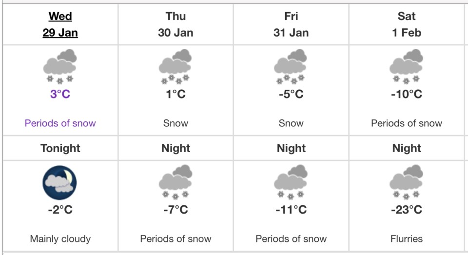
More of the same is on the way, according to Environment Canada. The agency forecasts a high of 3 C, continuing the well-above-seasonal trend of the last week.
Cloudy conditions are expected to roll back in tonight, with the overnight low slipping down to just -2 C.
More snow is expected, more even than fell last night and this morning: as much as four centimetres of the fluffy stuff could come down Thursday starting around 6 a.m. Periods of snow and some flurries are expected Friday and Saturday as well, as the last of the warm leaves the region and a deep freeze sets in with Sunday’s high of -20 C under sunny and unsympathetic skies.


